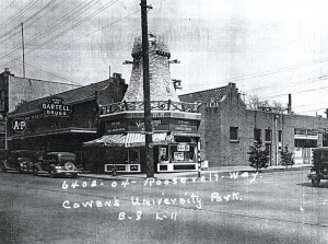
Northeast corner of Roosevelt Way NE and NE 64th Street, ca. 1938. Courtesy Puget Sound Regional Archives.
Of all Seattle’s rich historical resources, my favorite might be the King County Land Use Survey photograph collection. These images document every structure standing in King County in the late 1930s, and many built subsequently.
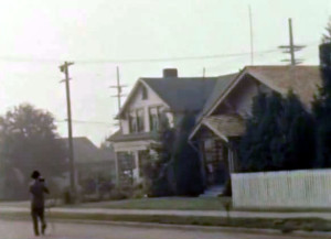
King County Land Use Survey photographer captures a house’s image, ca. 1938. Courtesy King County Archives.
